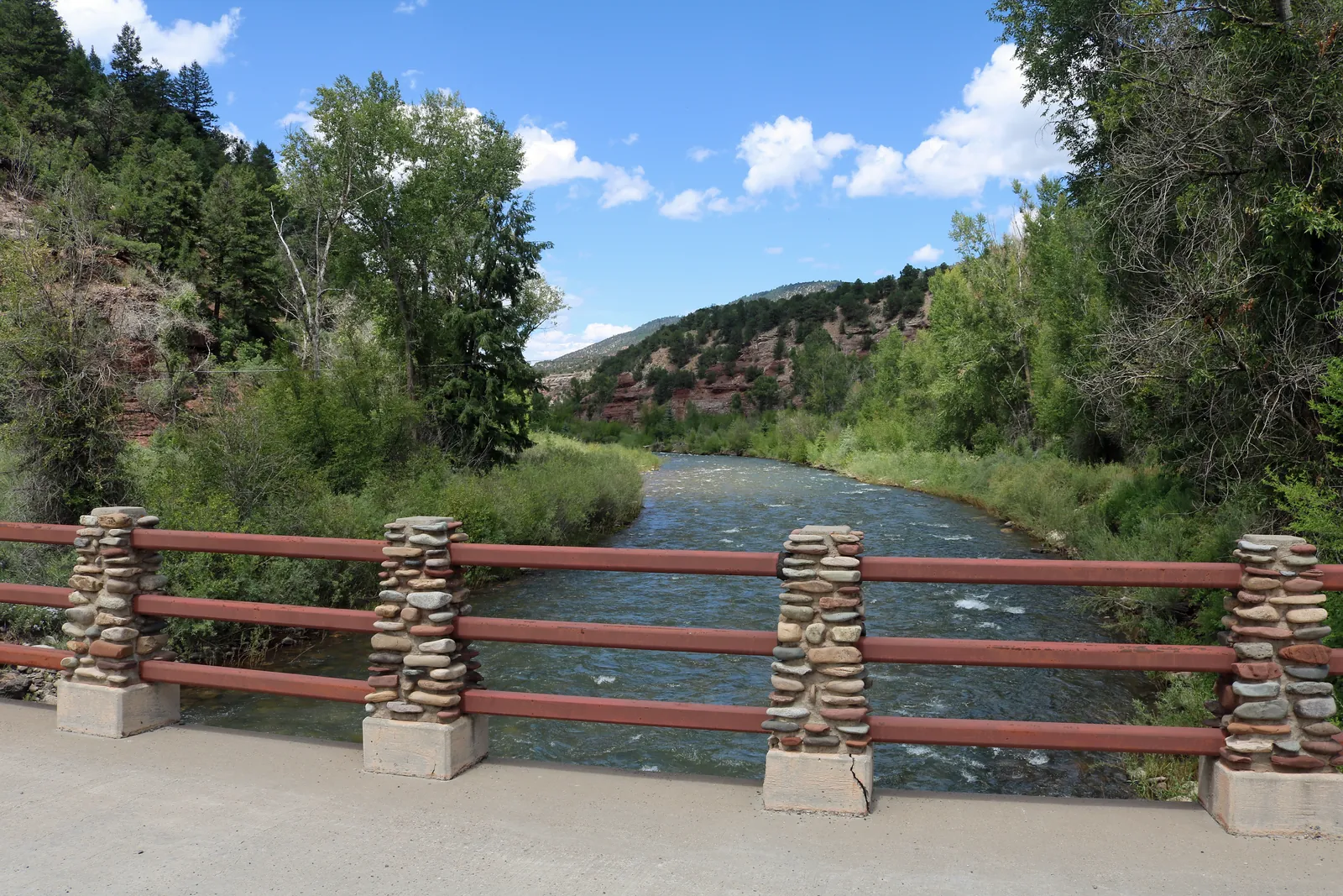
Drivers heading west out of Telluride next week should build extra time into the trip. The Colorado Department of Transportation says its crews will spend the week clearing the shoulders of CO 145 between Telluride and Placerville, and that traffic on the stretch will be stopped in full at intervals while the work is under way.
The department announced the work on Friday, November 6. It is scheduled to run from Monday, November 9 through Friday, November 13, between Mile Point 72 and Mile Point 79, with crews on the road from 9 a.m. to 3 p.m. each day. The schedule depends on the weather.
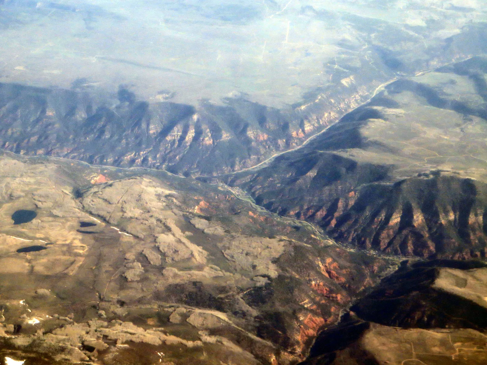
Ken Lund, CC BY-SA 2.0, via Wikimedia Commons
What drivers will meet on the road
Traffic will move in one direction at a time through the work area. The department puts the wait at 10 to 15 minutes and advises people to allow more time than usual for the trip. Flaggers will control the holds, and signs will mark lane shifts and any lane closures within the stretch.
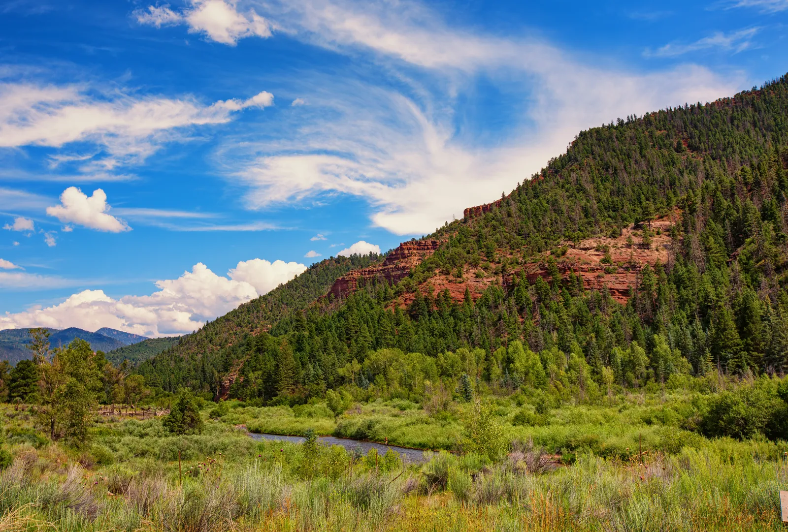
Tony Webster, CC BY 2.0, via Wikimedia Commons
The seven miles sit on the valley route that carries traffic west from Telluride through Sawpit to Placerville, where CO 145 meets CO 62. For most drivers in the west end of San Miguel County, there is no practical alternative route around a daytime hold on this highway, which makes the published hours the useful planning fact: the holds are a daytime, weekday pattern, not an around the clock closure.
Why the shoulders are being cleared
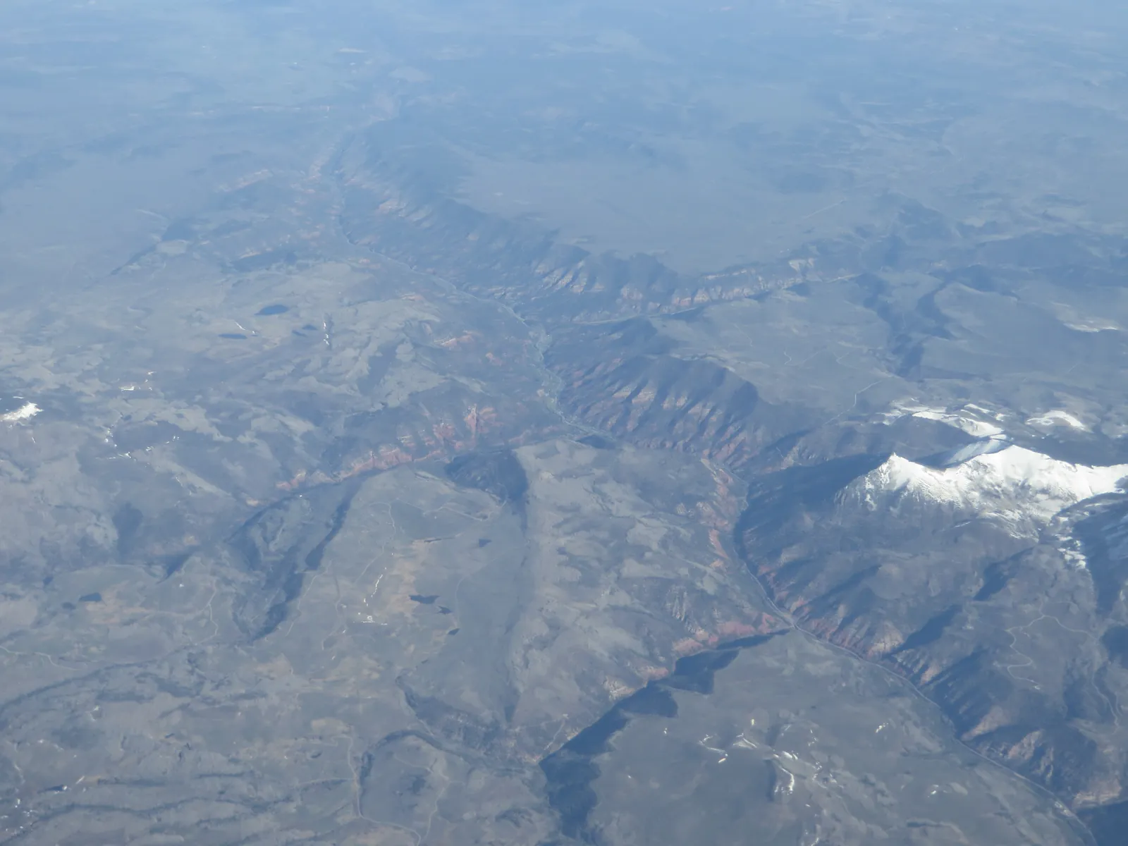
Ken Lund, CC BY-SA 2.0, via Wikimedia Commons
The job itself is housekeeping with a purpose. Crews will take built up rock and debris off the shoulders, work the department describes as routine maintenance that limits erosion and flooding along the roadway. On a highway that follows the San Miguel River through a narrow valley, keeping drainage paths and shoulders clear is part of how the road withstands the runoff and storm seasons.
The department's safety guidance for the week is the standard work zone advice, and it is worth following on a two lane mountain highway: slow down, keep an eye out for workers, stay off a phone while driving through the zone, and expect lane shifts rather than assuming the road ahead follows its usual line.
Conditions can change with the weather and with the pace of the work, so the department directs travelers to check COtrip.org, or the COtrip Planner app, for current road conditions before setting out. Anyone traveling the corridor next week for work, school or appointments should check that morning and leave earlier than the map suggests.