Thursday is the mild, unsettled day before the change in the Northwest San Juan Mountains. The National Weather Service in Grand Junction, in its zone forecast issued at 1:45 a.m. MST on Thursday, November 19, calls for a partly sunny morning turning mostly cloudy, with highs in the 30s and southeast winds of 10 to 15 mph gusting to 30 mph for the zone that includes Telluride, Lizard Head Pass, Ouray, Red Mountain Pass and Lake City.
The snow arrives late. On Thursday night the chance of snow showers is 30 percent, most of it after midnight, when the wind is also expected to whip loose snow around. Lows fall to 15 to 25, with south winds of 10 to 15 mph gusting to 40 mph. Friday pairs a 50 percent chance of snow showers with patchy blowing snow in the morning, highs of 25 to 35, and southwest winds of 10 to 15 mph, again gusting to 40 mph. Friday night stays mostly cloudy with a 50 percent chance of snow showers and lows of 5 to 15.
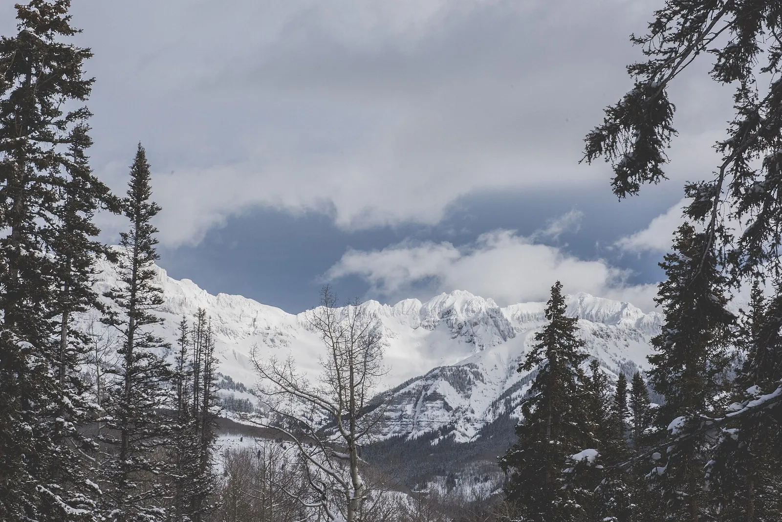
Chad Madden, CC0, via Wikimedia Commons
What the forecasters expect from the storm
In their area forecast discussion issued at 10:37 p.m. MST on Wednesday, November 18, the Grand Junction forecasters lead with the storm's shape: measurable snow for the mountains between Thursday night and Saturday, with light accumulations possible in some higher valleys. For the southern mountains, the discussion expects generally 3 to 6 inches of snow through the event, with persistent moist southerly flow keeping light snow going up high on Friday.
Thomas Kelley, CC0, via Wikimedia Commons
The discussion also flags a second act. Early on Saturday, a trailing lobe of energy rotates toward the Four Corners, and the southern mountains could see a burst of better snow rates around midday before the storm winds down quickly in the afternoon. The zone forecast has Saturday turning sunny in the afternoon, with highs in the 20s and only a 20 percent chance of snow showers in the morning.
As of the Wednesday night discussion, no watch, warning or advisory was in effect for Colorado. The only advisory the discussion lists is a winter weather advisory for a zone in Utah. That is a status at issuance time, not a promise for the weekend, and anyone travelling the passes should check the Weather Service and COtrip for updates before leaving.
A colder weekend, then a busy Thanksgiving week
Temperatures trend downward from Friday. Saturday night lows in the Telluride zone fall to zero to 10 above, Sunday is sunny with highs of 25 to 35, and Monday brings another chance of snow showers in the afternoon, at 30 percent, rising to 50 percent on Monday night. The discussion expects the storm track to shift farther south over eastern Utah and western Colorado, bringing unsettled weather through the coming Thanksgiving week, with fast moving storms possible, minor travel impacts mostly in the mountain areas, and daily highs and lows hovering around five degrees below the seasonal normal.
Friday is also the day the gondola reopens for the winter between Telluride and Mountain Village, running 6:30 a.m. to midnight, according to the Town of Mountain Village. A scheduled operating day is not a guarantee of uninterrupted service: the town notes that the gondola may close temporarily because of weather or another cause beyond its control, which is worth remembering on a morning with blowing snow in the forecast.
Driving and backcountry notes
On the passes, one standing rule matters this weekend. When the Colorado Department of Transportation activates its passenger vehicle traction law on a state highway, drivers learn of it from roadside signs, from COtrip.org and from the department's roadway alerts. Meeting it takes all weather or winter tires with at least 3/16 of an inch of tread and the mountain snowflake mark or an M+S or M/S rating, or chains or another approved traction device carried in the vehicle.
Anyone heading into the backcountry this weekend should start with the Colorado Avalanche Information Center's current forecast for the North San Juan mountains, the authoritative read on the snowpack there. Fresh snow and strong wind can change conditions quickly, so the center's danger ratings, not any news summary, should set the plan.