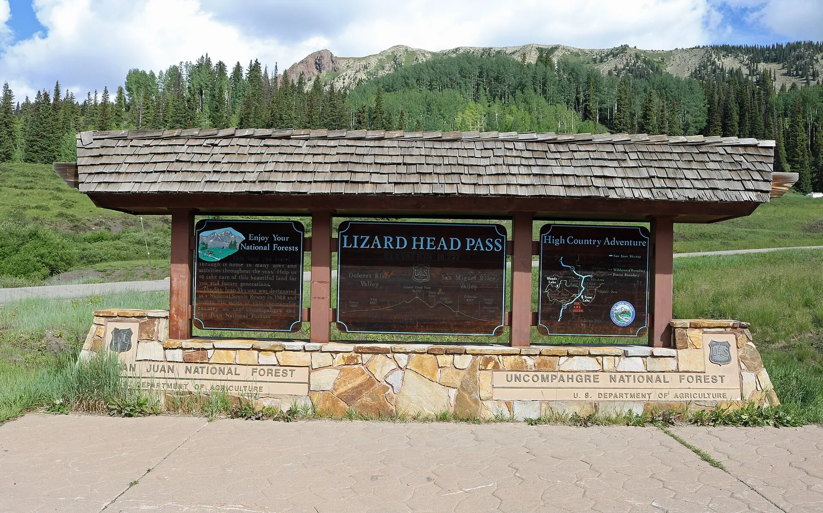
A fast moving storm brings snow showers to Telluride on Saturday, with the National Weather Service in Grand Junction forecasting an accumulation of 1 to 3 inches for the Northwest San Juan Mountains. That forecast zone includes Telluride, Lizard Head Pass, Ouray, Red Mountain Pass and Lake City.
The southern half of the range carries the stronger official warning. Telluride's zone is not under an advisory. The Southwest San Juan Mountains, south of the county, are, and drivers headed that way on Saturday face the harder travel.
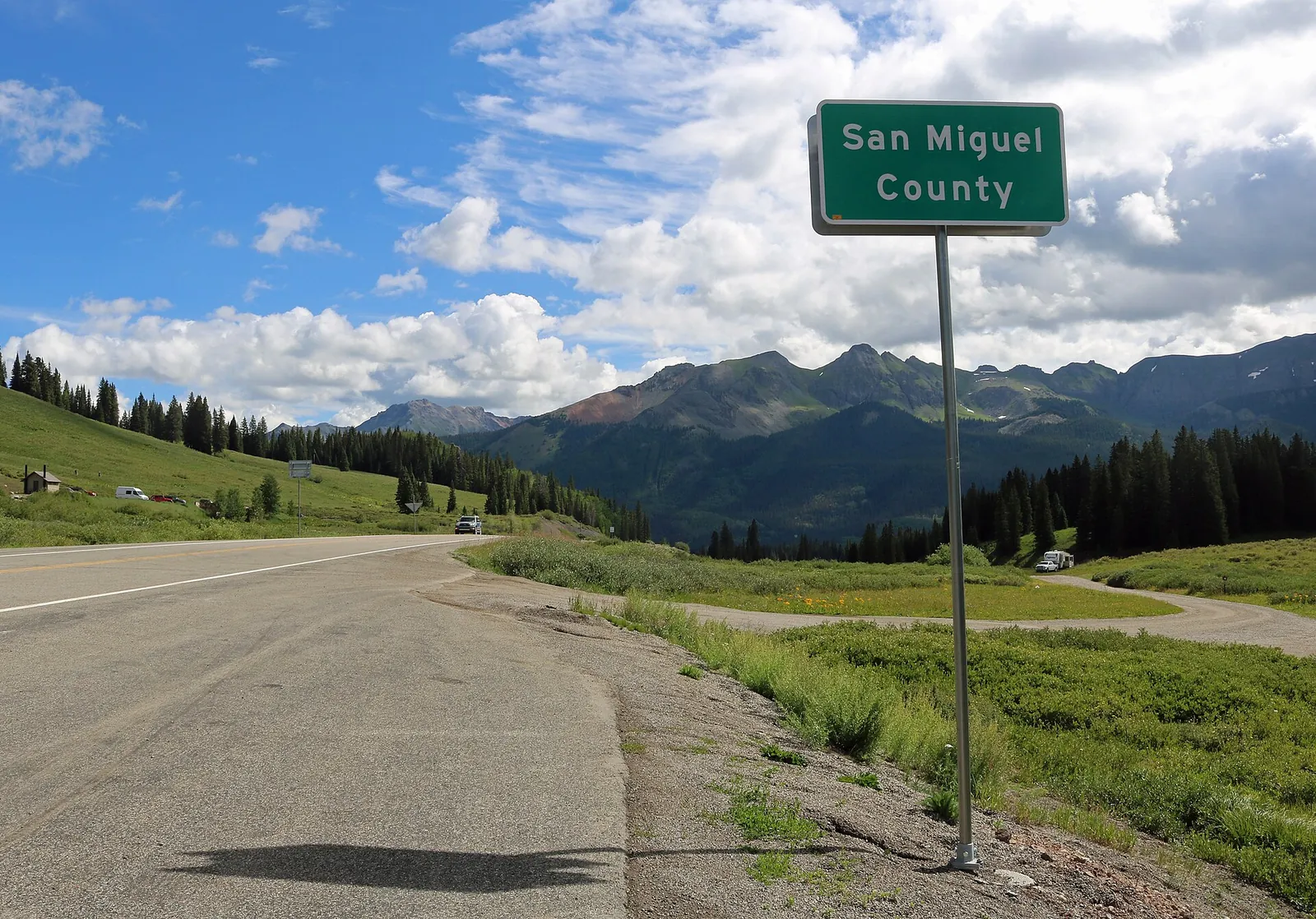
Jeffrey Beall, CC BY 4.0, via Wikimedia Commons
What the advisory says, and where it applies
In its winter weather message issued at 8:40 a.m. MST on Friday, November 13, the Grand Junction office placed the Southwest San Juan Mountains above 9,000 feet under a winter weather advisory from midnight tonight to 9 p.m. MST Saturday. Snow accumulations there are expected to total between 4 and 8 inches, with locally higher amounts possible. The message names Silverton, Molas Pass, Coal Bank Pass, Rico and Hesperus, and says travel could be very difficult.
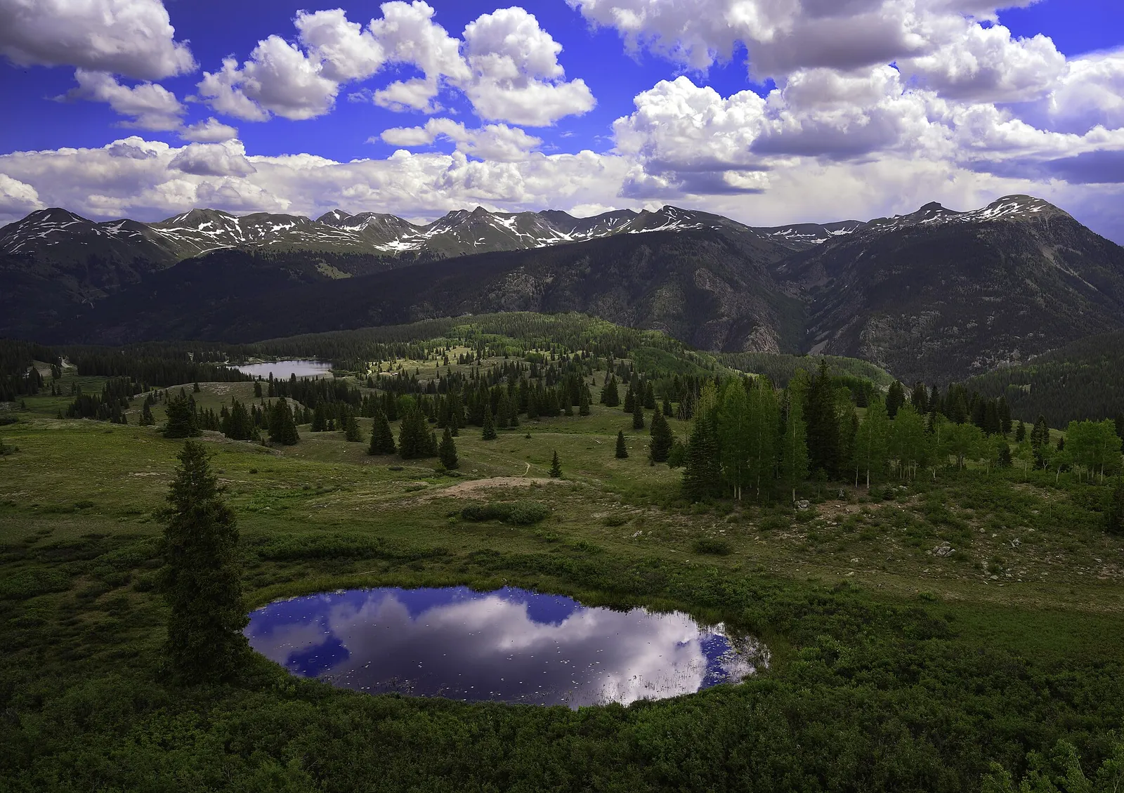
John Fowler, CC BY 2.0, via Wikimedia Commons
The advisory's preparedness guidance is short: slow down and use caution while traveling, and get the latest road conditions for the state you are calling from by calling 511.
The two Grand Junction products measure different things, and their numbers should not be blended. The advisory gives the expected storm total above 9,000 feet across the whole midnight to 9 p.m. window. The zone forecast, issued at 11:34 a.m. MST on Friday, describes conditions at a representative point in each zone, and it puts Saturday's new accumulation in the southwest zone at 1 to 3 inches, on top of about an inch expected overnight.
The Telluride forecast through the weekend
For the Northwest San Juan Mountains, the Friday zone forecast calls for snow showers likely after midnight tonight, with no snow accumulation and lows in the 20s, on a 70 percent chance of snow. Saturday brings snow showers, with a slight chance of thunderstorms, an accumulation of 1 to 3 inches and highs in the 30s. A chance of snow showers continues into Saturday evening, with lows of 15 to 25 and a 30 percent chance of snow.
Sunday turns sunny with highs in the 40s, and Monday and Monday night are partly cloudy with highs of 45 to 55, according to the same forecast. The next chance of snow showers in the zone arrives on Tuesday.
In their forecast discussion issued at 10:26 p.m. MST on Thursday, the Grand Junction forecasters wrote that snow levels would hover around 9,000 feet before the front passes, then drop to the mountain bases by sunset on Saturday, and that storm totals of 4 to 10 inches were most likely over the southern San Juans above 9,000 feet, with higher amounts near a foot in a few favored locations.
Driving and backcountry notes
The Colorado Department of Transportation can put its passenger vehicle traction law into effect on any state highway when conditions require it, and announces it through highway signage, COtrip.org and roadway condition alerts. While a traction law is in effect, passenger vehicles must have tires with 3/16 of an inch of tread depth that are rated all weather, or winter tires carrying the mountain snowflake icon or an M+S rating, or carry chains or an approved alternative traction device. CDOT says it highly recommends an all wheel drive or four wheel drive vehicle in the mountains whenever possible.
Anyone heading into the backcountry this weekend should read the current Colorado Avalanche Information Center forecast for the North San Juan area before leaving. New snow falling on an early season snowpack is exactly the combination the center's daily forecasts exist to describe, and its ratings, not a news report, are the current word on avalanche danger.