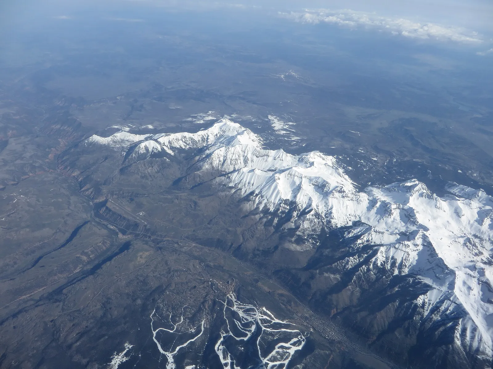
Monday is the quiet day in the Northwest San Juan Mountains, mostly sunny with highs in the 40s, according to the National Weather Service in Grand Junction. The change arrives on Tuesday, when a storm system brings strong south winds, showers that turn to snow above about 9,000 feet, and a colder Wednesday behind it.
For the forecast zone that includes Telluride, Lizard Head Pass, Ouray, Red Mountain Pass and Lake City, the Weather Service zone forecast issued at 4:06 a.m. MST on Monday calls for rain showers possible on Tuesday morning, then showers again in the afternoon, mainly rain, with snow showers and even a thunderstorm possible. Highs reach 35 to 45, south winds run 10 to 15 mph, and gusts reach up to 40 mph. The chance of precipitation is 40 percent.
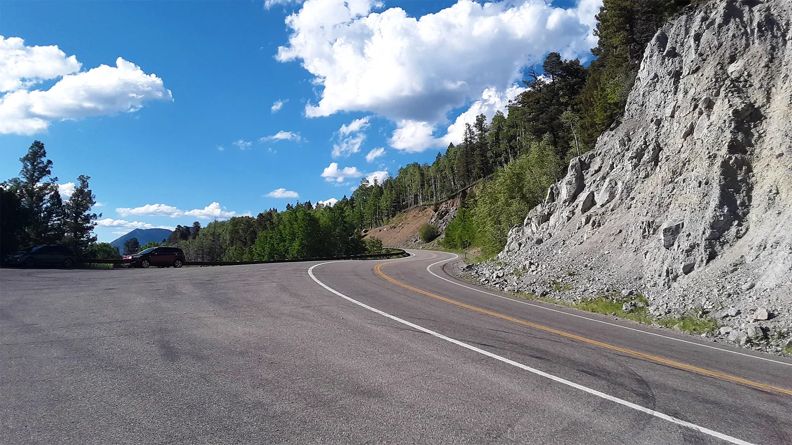
D&RG Railfan, CC BY 3.0, via Wikimedia Commons
In their forecast discussion issued on Sunday night, the Grand Junction forecasters wrote that warm air ahead of the front will push Tuesday temperatures nearly 10 degrees above normal and hold snow levels in the 9,000 to 10,000 foot range, with rain in the valleys below on Tuesday afternoon and early Wednesday morning. They also noted that the latest model run had reduced the storm's expected snow totals.
Tuesday night on the passes
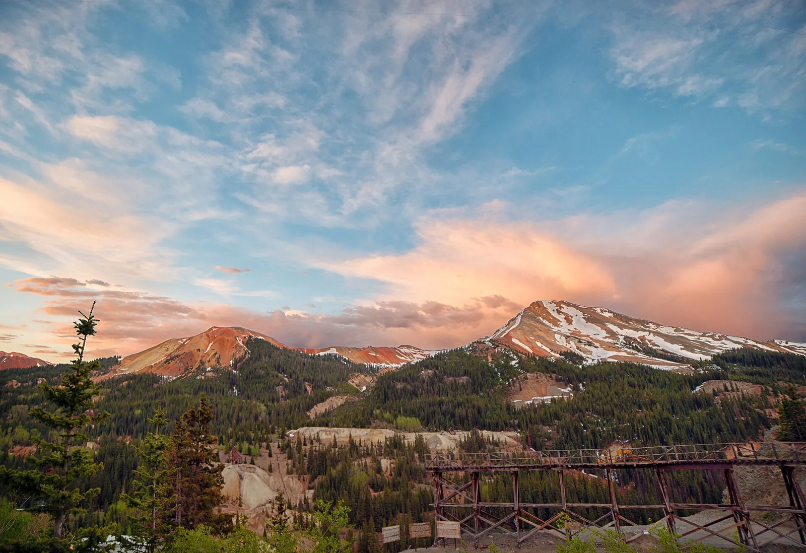
John Fowler, CC BY 2.0, via Wikimedia Commons
Snow showers take over on Tuesday night in the Telluride zone, with an accumulation of about one inch, lows of 10 to 20, and gusts up to 40 mph easing to 30 mph after midnight. The Southwest San Juan Mountains, the zone that includes Silverton, Molas Pass, Coal Bank Pass, Rico and Hesperus, have the higher totals: snow showers likely on Tuesday at a 60 percent chance, then 1 to 3 inches on Tuesday night.
The discussion warns that gusty winds under a strong jet stream could stir up a lot of blowing snow on Tuesday evening, and that visibility and road conditions on mountain roads could deteriorate quickly as the front crosses. Its key messages flag adverse travel conditions on mountain passes on Tuesday night and Wednesday morning, and the discussion adds that snow tapers around daybreak on Wednesday and that commuters on the passes are likely to find slick roads that morning.
As of the Monday morning discussion, no watch, warning or advisory was in effect for Colorado. The Sunday night discussion said a winter weather headline might still be needed for the San Juans on Tuesday night, so the absence of an advisory on Monday morning is a status, not a promise. Anyone travelling on Tuesday evening should check the Weather Service and COtrip for updates before leaving.
Colder Wednesday, then a second storm
Wednesday turns sunny in the Telluride zone with highs in the 30s, and the discussion puts temperatures 10 to 15 degrees colder behind the front. Thursday stays partly cloudy, and the next system arrives late in the week: a chance of snow showers on Thursday night with light accumulation, then snow showers on Friday with, in the zone forecast's words, new moderate snow accumulation and highs in the 30s.
The discussion is candid about the limits of that late week forecast. The system arriving late Thursday night through Saturday morning is an open wave, model runs disagree on its strength and timing, and confidence is low. Most of its moisture is expected ahead of its cold front, and snow levels could drop to some valley floors on Friday night into Saturday morning.
Driving and backcountry notes
One standing rule matters on the passes this week. The Colorado Department of Transportation can switch on its passenger vehicle traction law for any state highway, and it announces the change on roadside signs, on COtrip.org and in its roadway alerts. A car complies with winter tires marked with the mountain snowflake symbol or an M+S rating, with all weather tires that keep at least 3/16 of an inch of tread, or by carrying chains or another approved traction device.
For backcountry travellers, the authoritative check before any outing this week is the Colorado Avalanche Information Center's current forecast for the North San Juan mountains. Fresh snow arriving on strong wind is a classic recipe for unstable slabs, and the center's danger ratings describe the snowpack as it is, in a way no news account can.